
The destination0°N–1°42′N
São Tomé & Príncipe, explained for independent travellers
Two volcanic islands in the Gulf of Guinea, off the coast of Gabon. Rainforest down to the sea, plantation estates the forest is reclaiming, and a pace of life the islanders call leve-leve: easy, easy.
In one paragraph
São Tomé is the larger island, home to the capital, the international airport and most of the population. Príncipe, about 160 km to the north-east, is smaller, quieter and largely forested. Portuguese is the official language, the equator crosses the islet of Rolas just off São Tomé’s southern tip, and for a period in the early twentieth century the islands were among the world’s leading cocoa producers.
A short history that explains the landscape
The islands were uninhabited when Portuguese navigators arrived in the late fifteenth century. Settlers built a colony on sugar and on the slave trade, and later covered the islands in coffee and cacao estates, the roças, worked by enslaved and then contract labourers brought from the African mainland. The country became independent in 1975.
The roças are why the islands look the way they do: grand hospitals and manor houses in the forest, workers’ quarters still lived in today, rail lines and drying sheds slowly disappearing under vegetation. Many visitors find them the most memorable part of a trip. They deserve to be visited with that history in mind.
Regions
Four places, not one.
Distances are small, but each region has a different climate, road network and character. Most good itineraries move between them rather than doing everything as day trips from the capital.
The capital and the north coast
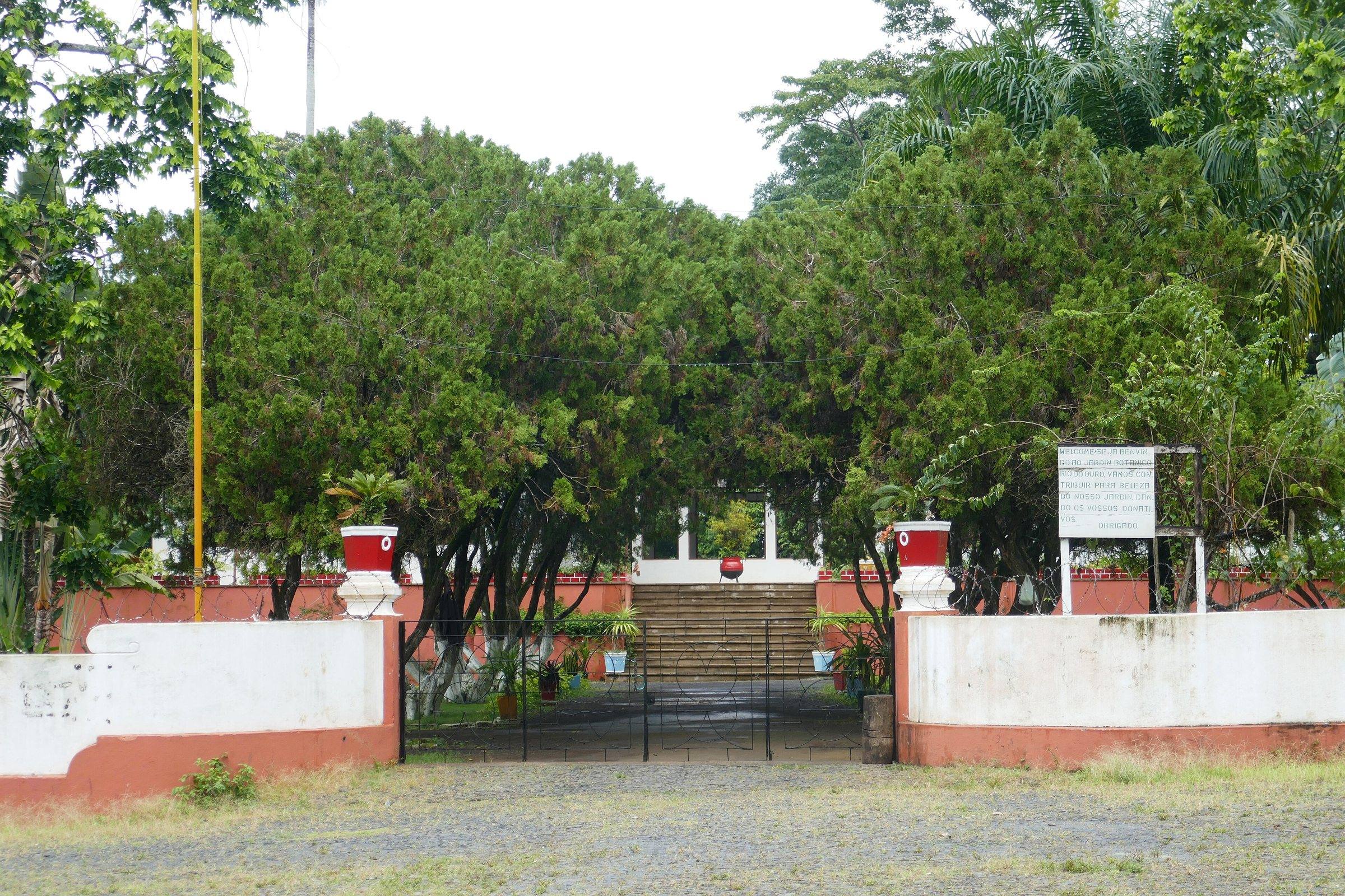
The capital is compact and walkable: a seafront promenade, colonial-era buildings in various states of repair, markets and the country’s widest choice of places to stay and eat. West along the coast, the north is the island’s driest corner, with beaches, fishing villages and the vast former plantation of Agostinho Neto.
The highlands and the cloud forest
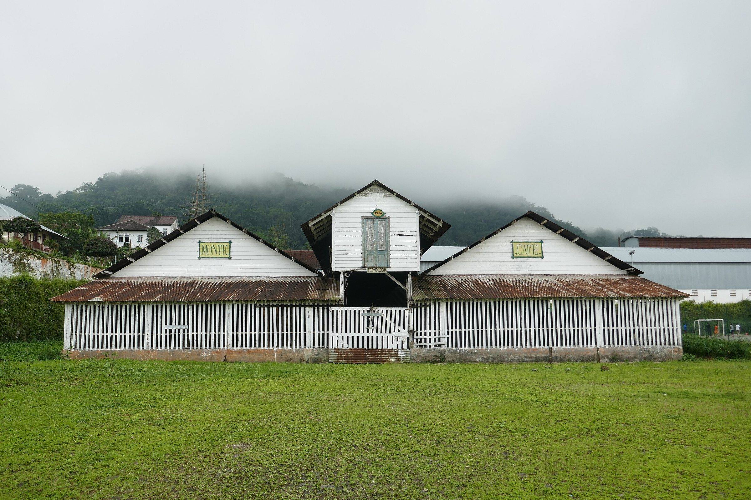
Inland, the road climbs through Trindade to old coffee estates such as Monte Café and into the Obô Natural Park. It is cooler, often misty and very wet. Trails lead to Lagoa Amélia, a marshy crater, and, for serious hikers with a guide, towards Pico de São Tomé, the island’s highest peak. This is also prime birding country.
The wild south
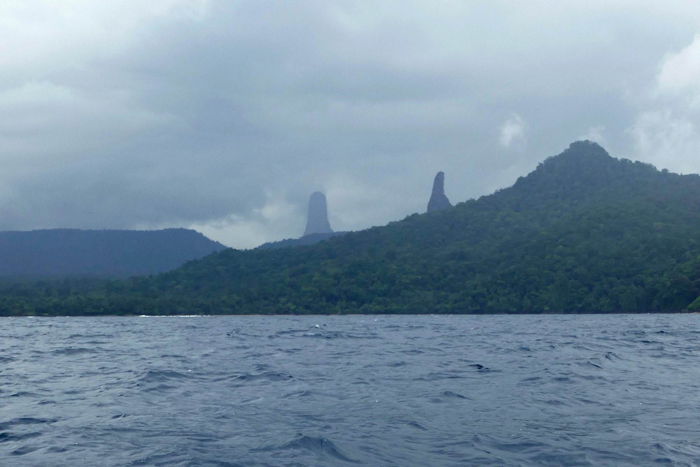
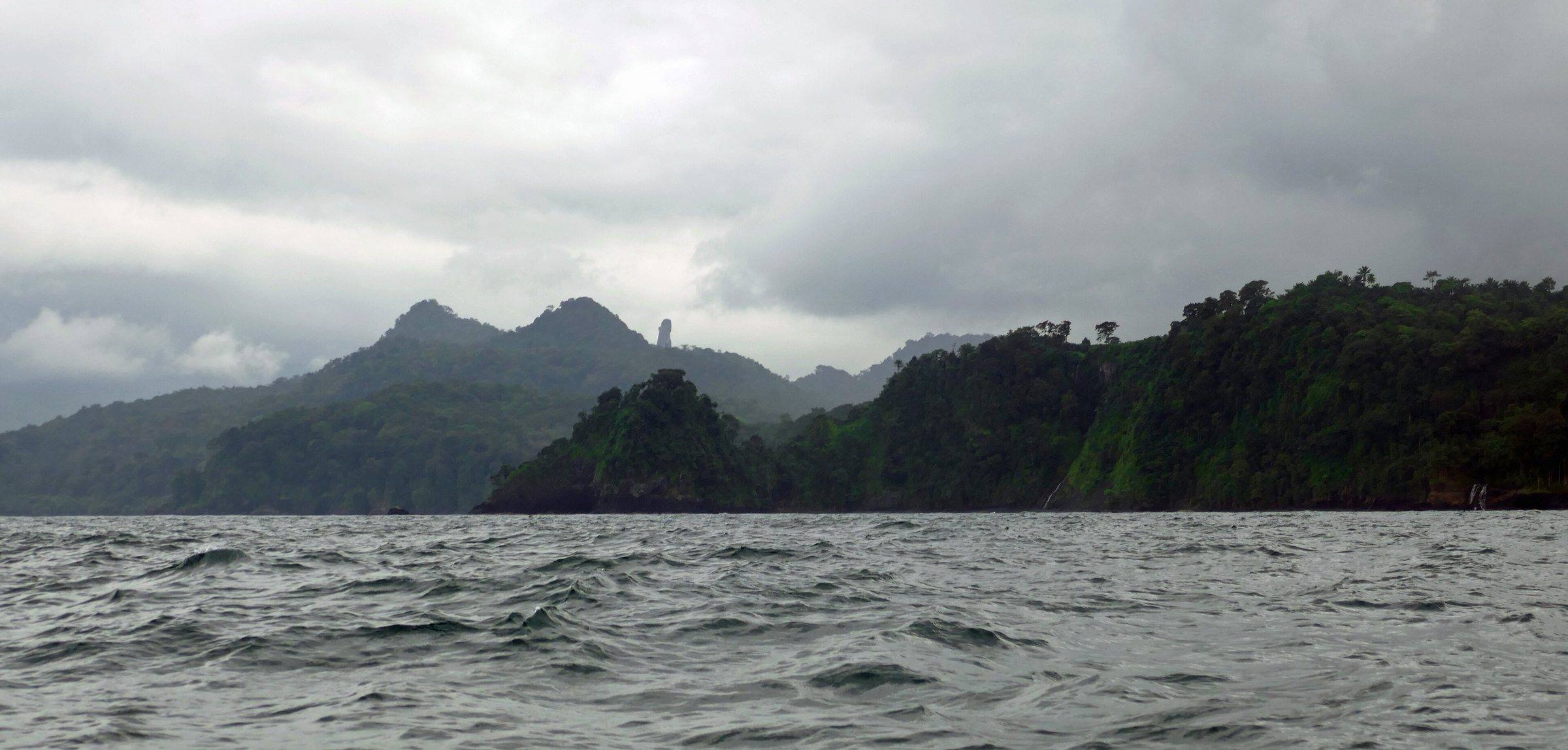
The east-coast road passes the Boca do Inferno blowhole, Santana and São João dos Angolares before reaching the far south: Pico Cão Grande, a volcanic needle rising from the rainforest; black-rock coves and long, empty beaches where turtles nest; and the fishing village of Porto Alegre, where boats leave for Ilhéu das Rolas and the equator.
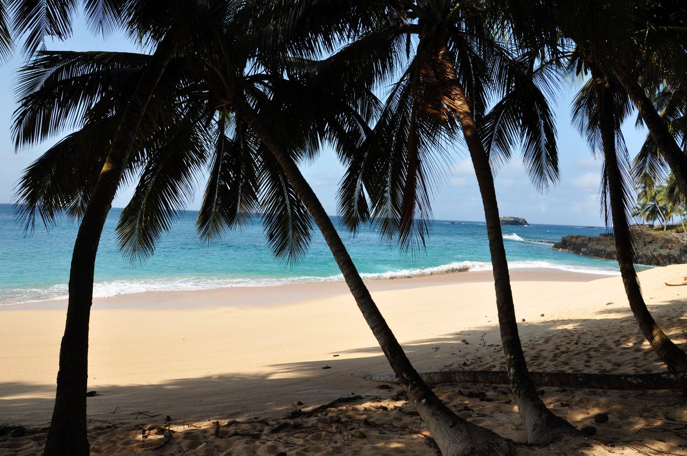
Príncipe
A UNESCO biosphere reserve since 2012, reached by a short flight. Fewer roads, fewer people, a handful of places to stay and a coast many visitors rate as the most beautiful in the country. It needs its own planning.
Next
Plan the practical side
Plan with a person
Want this arranged for you?
Send your dates and what you want from the trip. We reply with practical options, the guides we would choose for you, what is confirmed and what is not, and a clear total price.
No payment to ask. Nothing is booked until you confirm a written quote.
Sources consulted (things change quickly here; if you have newer information, tell us):