
São Tomé · North0°24′N 6°37′E
The north coast
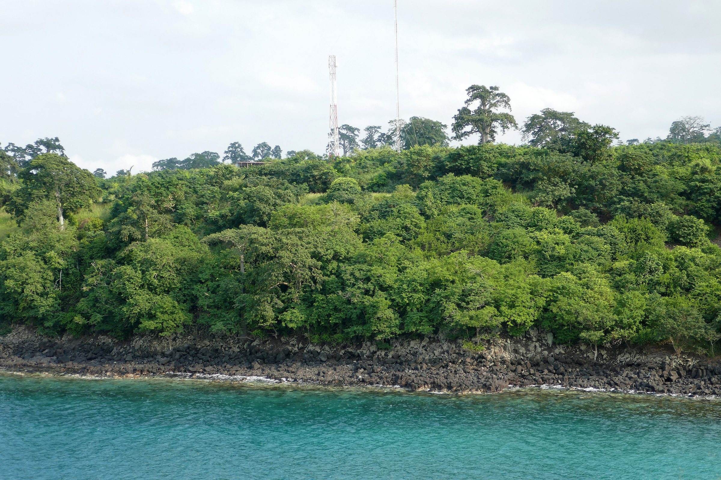
A day along São Tomé’s dry north and west coast: Roça Agostinho Neto, the baobabs and clear water of Lagoa Azul, the fishing town of Neves and the cocoa estate of Diogo Vaz.
The north is São Tomé’s dry side: baobabs instead of rainforest, calm bays, fishing villages and some of the largest plantation estates. It makes an easy, rewarding first full day out of the capital.
What you see
Roça Agostinho Neto
One of the largest former plantation estates, with a grand hospital building at the top of a long avenue and workers’ housing that is still lived in. See roças and cacao for the history.
Lagoa Azul
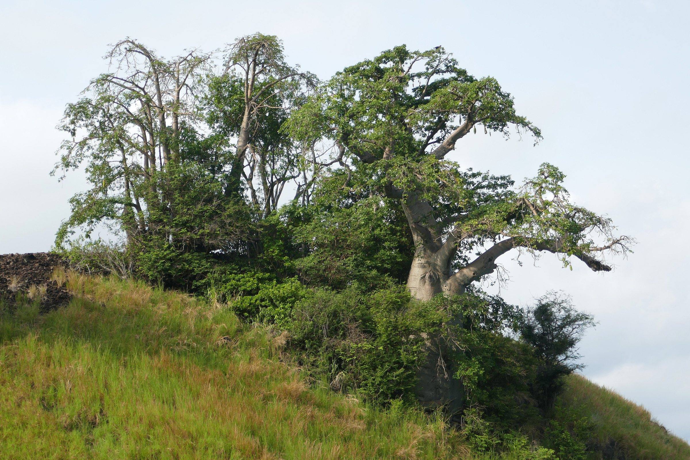
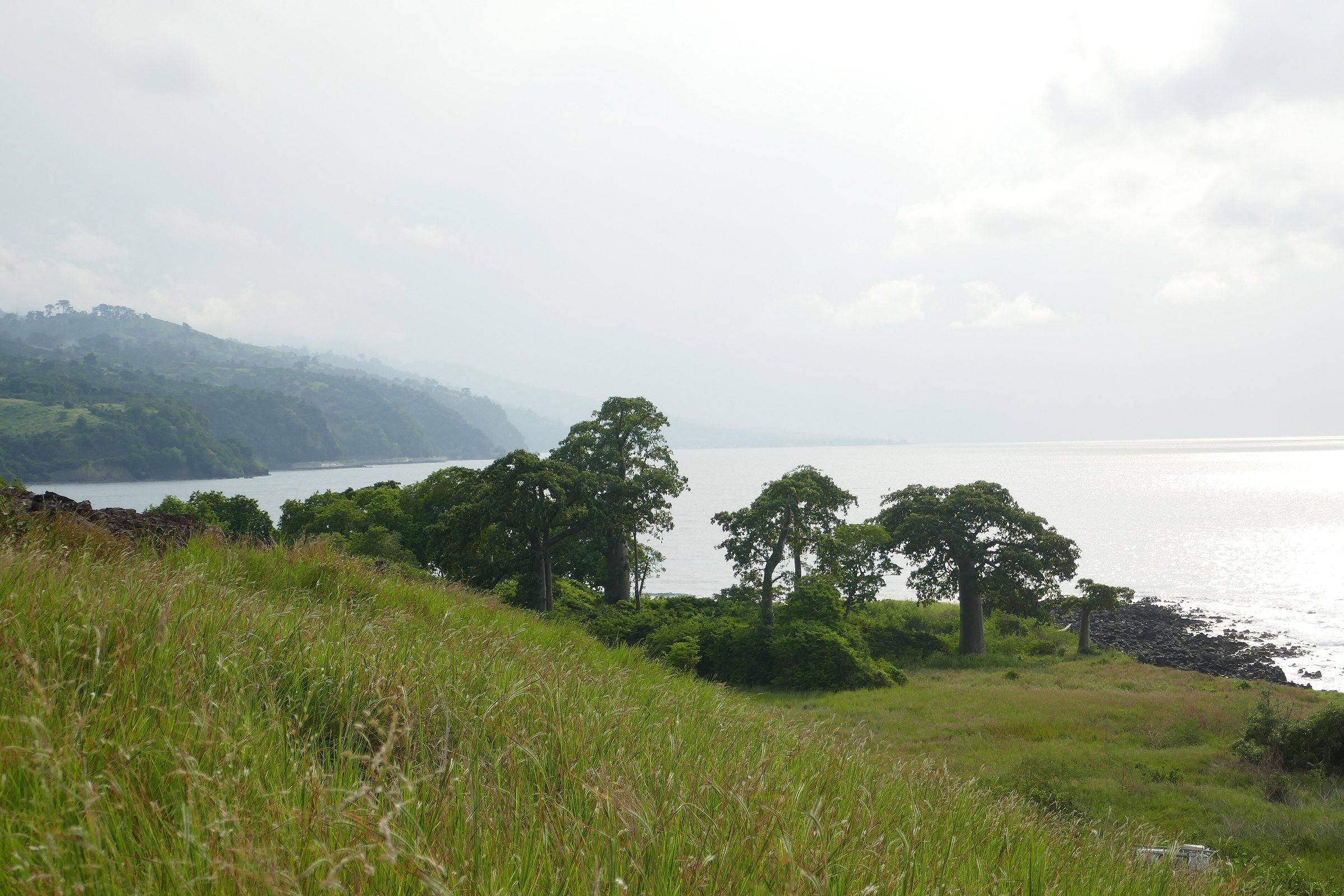
A small bay about 4 km north-west of Guadalupe, inside Obô Natural Park, with a lighthouse on the headland. The water is clear enough for snorkelling from the shore on calm days, and the hillside above is dotted with baobabs, a reminder of how dry this corner of the island is.
Neves and the west coast
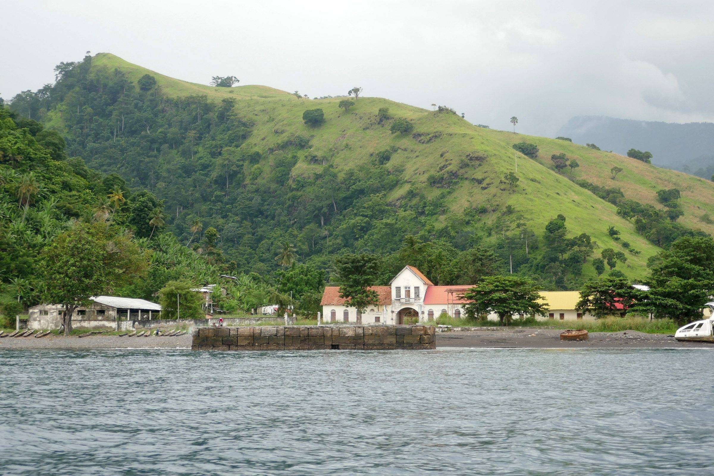
Further west the road reaches Neves, a fishing town on a bay, and continues down the west coast. Roça Diogo Vaz, on this coast, is a working cocoa estate known for its chocolate.
Arranged on request
Arrange a north-coast day
We arrange this with local guides and operators. We check availability for your dates and confirm the details below before you pay a deposit.
A typical day
- Pick-up at your hotel in the capital in the morning
- Roça Agostinho Neto and the coast road west
- Lagoa Azul: viewpoint, baobabs and a swim or snorkel if the sea allows
- Lunch in or near Neves (paid locally)
- Return to the capital in the late afternoon
We confirm for your dates
- A driver-guide and the actual vehicle
- Guide language
- Start time and route
- What is included (fuel, entry fees) and what is paid locally
- Duration
- Full day
- Format
- Private: your group only, with a local guide or driver-guide
- Season
- Year-round; the north is the island’s driest region
- Price
- Tailored quote in euros for your dates and group size, before you pay anything.
Also asked
Quick answers
Can you snorkel at Lagoa Azul?
Yes, from the shore when the sea is calm. Guides describe it as one of the better snorkelling spots on the island. Conditions vary, so check on the day, and bring your own mask if you can.
How long does the north coast take?
It works as a comfortable full day from the capital. As a rough estimate, Roça Agostinho Neto and Lagoa Azul are around an hour’s drive away; going on to Neves and the west coast makes a longer day. We confirm times with the driver for your dates.
Is the north coast good in the rainy season?
It is the driest part of the island, so it is often the best choice when the interior and south are wet.
Plan with a person
A north-coast day, arranged for you
Tell us your dates. We check a driver-guide’s availability for the north coast, agree the route and stops, and send one clear price.
Asking is free. Nothing is booked until you have accepted a quote and we have confirmed it in writing.
Keep planning
Sources consulted (things change quickly here; if you have newer information, tell us):